


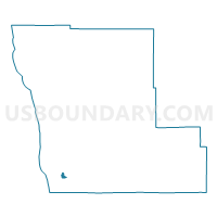
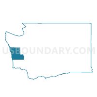
Bay Voting District, Grays Harbor County, Washington
About
Outline

Summary
| Unique Area Identifier | 684377 |
| Name | Bay Voting District |
| County | Grays Harbor County |
| State | Washington |
| Area (square miles) | 1.09 |
| Land Area (square miles) | 0.67 |
| Water Area (square miles) | 0.42 |
| % of Land Area | 61.46 |
| % of Water Area | 38.54 |
| Latitude of the Internal Point | 46.87646930 |
| Longtitude of the Internal Point | -124.09218620 |
Maps

Graphs
Select a template below for downloading or customizing gragh for Bay Voting District, Grays Harbor County, Washington


Neighbors
Neighoring Voting District (by Name) Neighboring Voting District on the Map
- Grayland Voting District, Grays Harbor County, WA
- Water: Grays Harbor Leg 19, Grays Harbor County, WA
- Westport 902 Voting District, Grays Harbor County, WA
- Westport Rural Voting District, Grays Harbor County, WA